Car Free Crater Lake National Park, OR

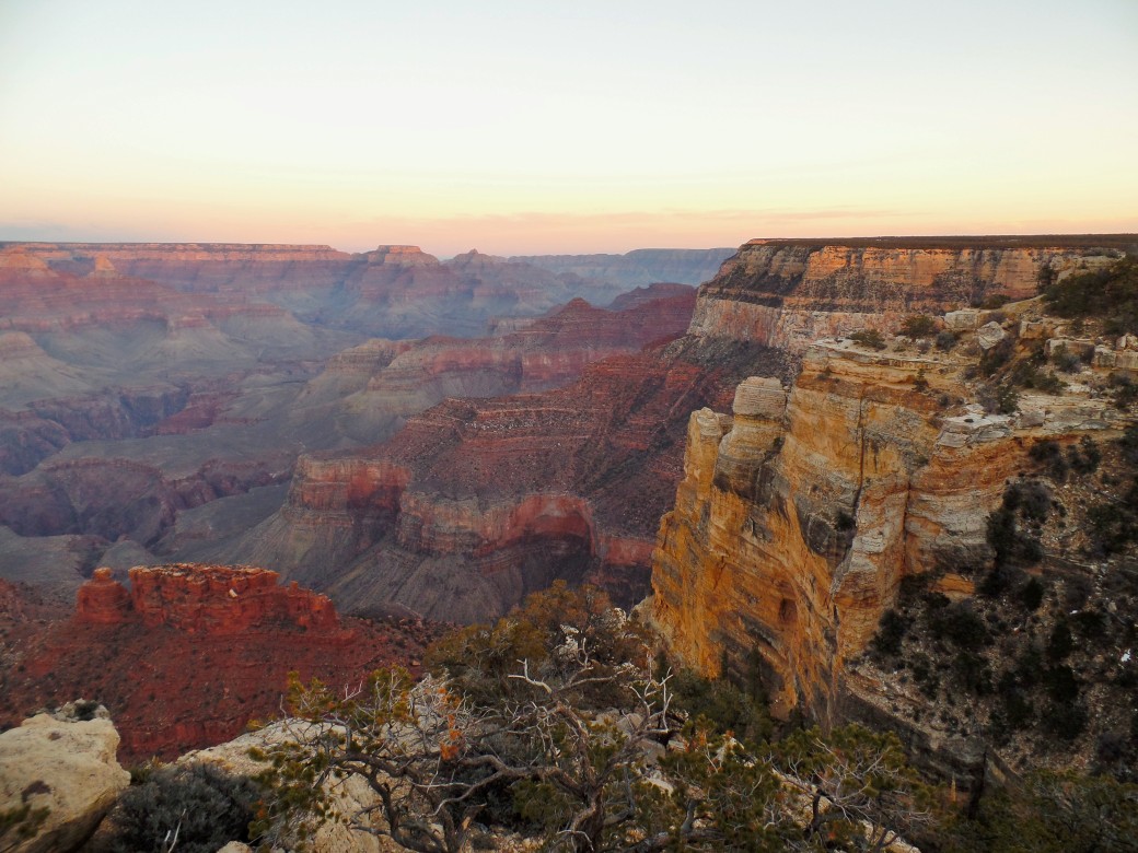
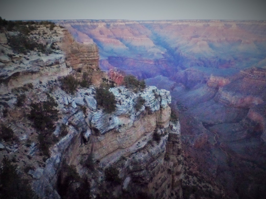
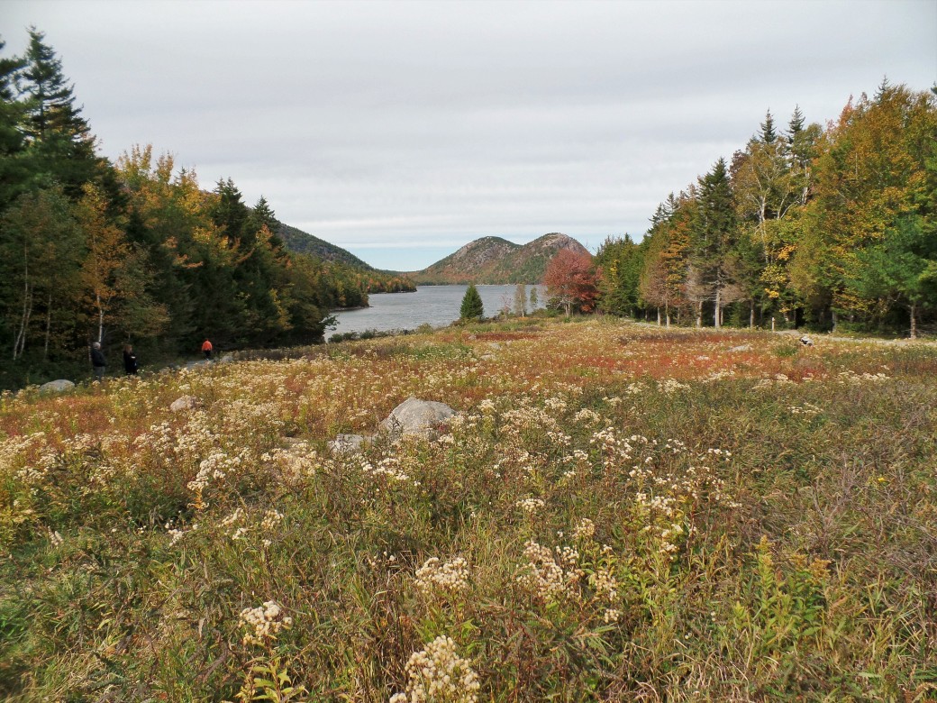
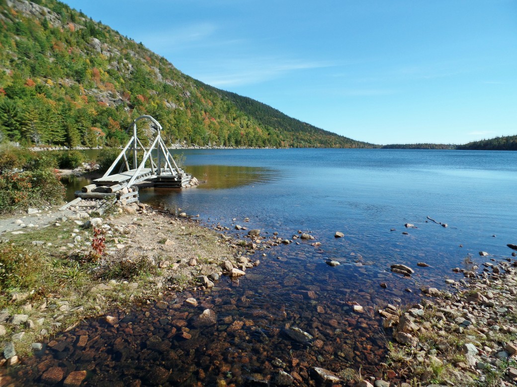
Crater Lake was formed after the collapse of the top of the volcano Mount Mazama, when water filled the new caldera. It is one of the oldest U.S. national parks, and regularly ranks on lists of the most beautiful lakes in the world, if not taking the top spot. It’s also the deepest lake in the U.S.! While it takes a few shuttle transfers, it’s possible to get here car free, and even tie it into a car-free trip to nearby Redwood National Park in California.

1. Fly/Amtrak/Bus to Medford, OR

Medford has an airport, but flights here tend to be expensive since it is a smaller one. If your budget is tight, Medford is also served by Amtrak and Greyhound, and you can fly into a larger airport like Portland and transfer, or just take the train or bus from your starting point.

2. Amtrak or Shuttle to Klamath Falls, OR. 

While Amtrak serves Klamath Falls, the closest city to the park, they only operate one train per day. If that doesn’t work with your schedule, you can also check the SW Point shuttle website, as they offer daily bus service from Medford (including a stop at the Medford Amtrak station) and other Oregon towns to Klamath Falls. The bus also stops in Crescent City, CA, making it possible to tie a trip to Crater Lake with a trip to Redwood National Park in Northern California!

3. Shuttle from Klamath Falls to Crater Lake

It’s roughly 45 miles from Klamath Falls to Crater Lake National Park. The same company that operates the SW Point bus also operates the Crater Lake Trolley. In the summer (July 4-Labor Day) they offer daily shuttle service to Crater Lake from Klamath Falls. While this may seem like a short season, for much of the rest of the year the Rim Drive around the lake is coated in a thick layer of snow. If you don’t want to stay overnight at Crater Lake, given the limited and expensive lodging options, the company offers a two-hour tour around the Crater Lake rim, after which you can return on the shuttle to Klamath Falls.

While the company says it is possible to book your entire transport to Crater Lake through Amtrak, as they partner with Amtrak to provide shuttle service, and the Amtrak website does list a “Crater Lake” stop, I could not make it come up with any available dates when I tried. You’ll be better off just calling or emailing the shuttle company and asking their help on booking train and shuttle times that work well together.

4. Stay at Crater Lake Lodge

The Crater Lake Lodge is your only choice for car-free lodging inside the park. While very convenient as it’s right on the lake rim, it’s also pretty expensive ($180/night for a “value” room), and fills up quickly, so book early if you’re planning on staying there. There is also a campground with slightly cheaper cabins in the park, but at 7 miles from the rim this is not the best location for car-free travel, even if you could get the shuttle to drop you there. For budget travelers, a  better option may be to stay in Klamath Falls and take the shuttle in and out every day.

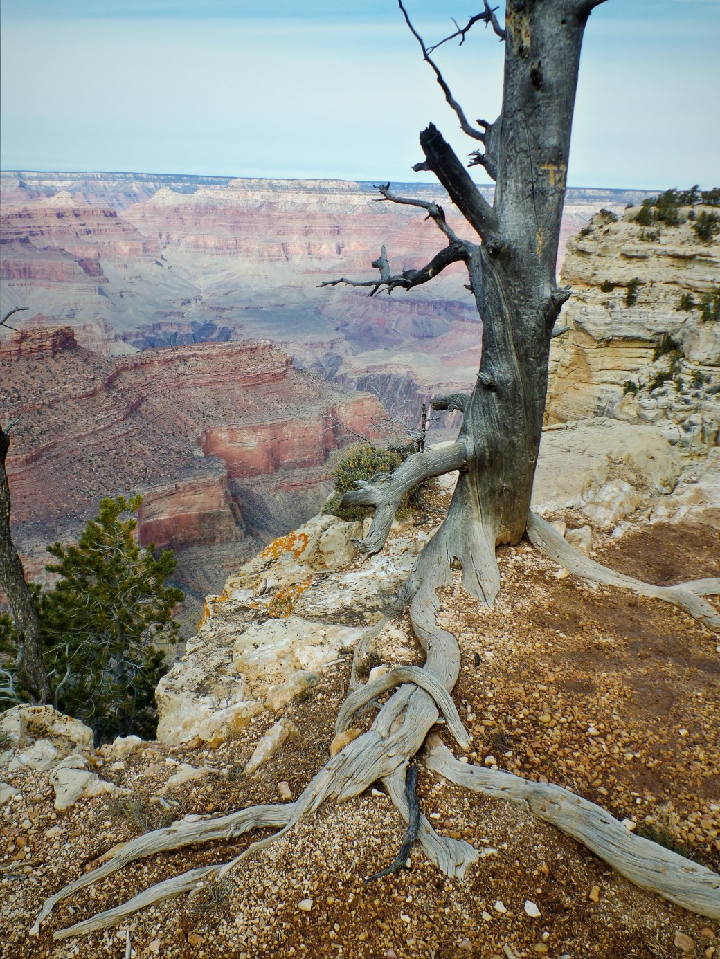
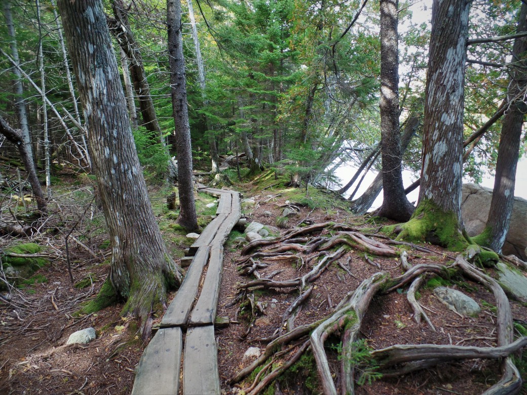
5. Hiking in the park

From the Rim Village where the Lodge is located, you can hike the Pacific Coast National Scenic Trail partly around the rim. There are also a few ranger-led hikes that leave from the village. A guide to the trails can be found here.

crater lake

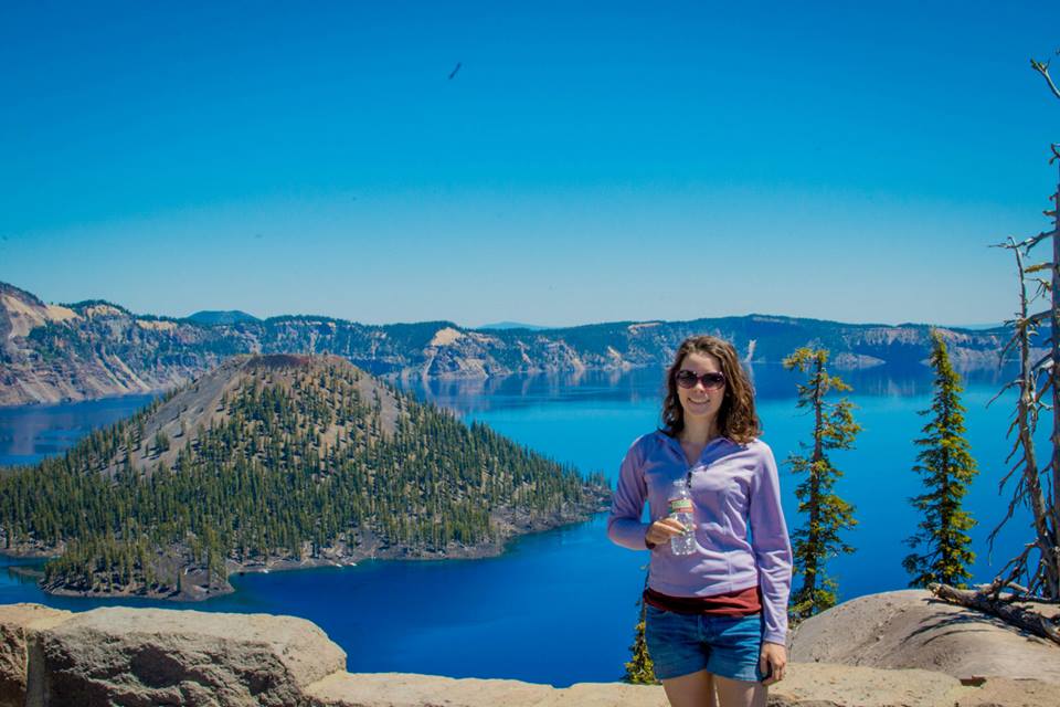
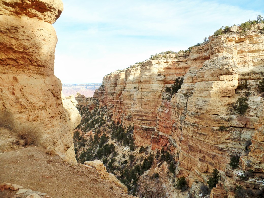
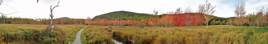
Enjoying the view from the rim of Crater Lake!

Car Free Zion National Park, UT

The most popular of Utah’s five national parks, Zion is also the only one easily reachable without a car. Unlike many other canyon parks, such as the Grand Canyon, the main road and trails run along the canyon floor, allowing you to take in views of towering red rock walls without an exhausting multi-day hike.

  1. Fly to St. George or Las Vegas.

The St. George,UT airport will be pricier, but you also need to factor in the additional shuttle cost from Vegas to St. George and the two hours each way you will lose sitting on the shuttle.

  1. Take St. George Shuttle to Springdale/Zion.

St. George Shuttle from Vegas to St. George will cost $50-78 roundtrip, and from St. George to Springdale will cost $40 roundtrip. They offer two daily trips to Springdale.

  1. Lodging in Springdale/Zion National Park

Zion Lodge is the only in-park lodging in Zion and is extremely expensive. Even the cheapest room in the off season will set you back over $200 per night. There is a campsite accessible via the park shuttle for $20 per night, but you will need to make your reservations WAY in advance as they book up fast. My husband and I stayed in the Canyon Vista Lodge in Springdale, which is a little pricey for someone who is used to budget hotels, but was a deal the holiday weekend we went when all other rooms both in the park and in Springdale were either booked or over $250 per night. And the rooms were larger than my apartment! Around 600 sq. ft, with breakfast included and kitchenettes.  If you do stay in Springdale, look for lodging within walking distance of Highway 9 and the shuttle bus stops there. However, Springdale is not that big, so most lodging should be safe.

  1. Take free Springdale Shuttle into Zion National Park.

Zion’s shuttle system operates from early March until November.  When it’s running, you in fact have no other option to access the main canyon, as the park rangers close it off to all traffic but the shuttle buses due to congestion that previously plagued the canyon. If you want to go to the more remote Kolob Canyons area you will be out of luck, since that is only accessible by a 45-minute car ride.

Because we went in winter in a car, and the park rangers closed the main park entrance down at 10 am one of the two days we were there, we spent 90% of time in the Kolob Canyons area and hiking other trails that are only accessible by car, so I can’t really give many firsthand suggestions for hikes to do. In winter, many of the best hikes like the Narrows or Angels Landing are also unpleasant to dangerous because of temperatures and ice. However, we did manage to get in the Riverside Walk to the Narrows. It was very pretty, but more experienced hikers may want to choose another trail since the ease of this trail makes it a popular choice for people with strollers/small children and it was extremely crowded even in winter.

Copy of P1120717

Riverside Walk


Copy of P1120697

Canyon floor on the shuttle bus route

Copy of DSC_0198

Canyon Overlook

Car Free Great Falls Park, McLean, VA

While not technically a “National Park”, this is a park run by the NPS in the DC area with world class views of the Potomac River. This is not a destination that would be the main target of a vacation, but the falls are still a can’t miss stop for tourists who are in the area for a longer DC trip, or for people who live along the East Coast in the near area.

SAMSUNG CAMERA PICTURES

Great Falls Park

The park website will warn that there is no public transportation to the park, which I think is crazy, given the park’s popularity and it’s proximity to DC and Arlington. However, you can get around this. Take Metro to Greensboro station on the Silver Line. Once there, you can take Uber/taxi about 7 miles to the park entrance. Biking to the park is not recommended since you will be on two lane roads with sharp turns no bike lanes for a large portion of the trip.

If you are going on a weekend, I highly suggest being dropped off at Riverbend Park next door to Great Falls instead of the park itself, and then hike about a mile into the park to the falls. The trails are very self-explanatory and follow the river so you don’t need to worry about getting lost. This will allow you to avoid the backup at the park entrance, which on weekends regularly requires an hour wait to enter the park. Also, if you’re super cheap and don’t have a park pass, walking from Riverbend allows you to avoid the $10 park entry fee.

SAMSUNG CAMERA PICTURES

Kayakers with a death wish

SAMSUNG CAMERA PICTURES

Great blue herons like to go fishing at the falls

SAMSUNG CAMERA PICTURES

Riverbend Park ducklings on the way in

Car Free Grand Canyon National Park, AZ

It’s probably the most famous national park, but did you know that the Grand Canyon is also accessible by public transport year-round, even in winter?

1 . Fly/Amtrak to Flagstaff, AZ.

Amtrak also goes to Williams, AZ, where you can transfer to the Grand Canyon Railway at the station, and take that into the park. However, I chose to take a shuttle from the airport because the GCR was more expensive and would also have required me to drag my suitcase through the park to my lodging.

2. Shuttle from Flagstaff Airport/Amtrak to Grand Canyon. 

Arizona Shuttle runs 2-3 shuttles daily from Flagstaff to the Maswick Lodge in the park. It picks up at the airport and the train station, and costs $28 each way. It will also drop you off in the gateway community of Tusayan, which is connected to the park by a shuttle that only runs during the summer months.

3. Stay at the Maswick Lodge. 

This is the cheapest of the in-park lodging options, and has a park shuttle stop and a cafeteria located right next door to it. This is also the park drop-off point for Arizona Shuttle. Warning: some of the rooms in the Maswick have no AC, which I believe is the main reason they are cheaper than the other lodging options since the rooms are otherwise perfectly decent. Since I went in January, this wasn’t an issue for me, and their heat is fully functional.

4. Park Shuttle System

This is the only national park I’ve found that has a year-round shuttle within the park (though some of the island ones have year-round ferries). In winter, only two routes were running- the Blue Route that connects the park lodging facilities, parking, and visitor center, and the Orange Route to the South Rim overlooks and trailheads. From spring to fall, the park adds an additional route to scenic overlooks in the opposite direction of the Orange Route, and in summer only there is a shuttle bus to the gateway town of Tusayan, which opens up more lodging options for car-less travelers.

5. Day 1: South Kaibab Trail and Rim Trail to Hermit’s Rest

In the morning I took the shuttle bus to the South Kaibab Trail and hiked down into the canyon, about a half mile past Cedar Ridge. Since it was January, there was a little bit of snow and ice on top of the trail, but not enough to pose a substantial slipping hazard if you go carefully. As many signs will warn you, the hike back up is very strenuous, so the comparatively short mileage is highly misleading. I’m VERY glad I was not hiking this in summer.

SAMSUNG CAMERA PICTURES

View near the top

SAMSUNG CAMERA PICTURES

Looking down into the canyon

SAMSUNG CAMERA PICTURES

First turnaround point

SAMSUNG CAMERA PICTURES

Burro rides are also available if you don’t feel up for the steep hike

SAMSUNG CAMERA PICTURES

The South Kaibab trail headed down the canyon- I love the contrasting rock colors!

After taking the shuttle back to Maswick Lodge, I followed the Rim Trail on the edge of the canyon away from the lodging area and shuttle bus routes for sunset. This is the path that the Red Route of the shuttle bus follows when it is running, but it is an easy hike to do without the aid of a bus. Depending on the time of day you look at the canyon, the rocks always appear different colors. The sunset made the colors morph to shades of pink, purple, and green.

SAMSUNG CAMERA PICTURES

Colors as the sun was setting

SAMSUNG CAMERA PICTURES

About ten minutes after the sun went down behind the canyon

6. Day 2: Rim Trail and Yaki Point

The second day I ditched the shuttle bus and walked the Rim Trail from Bright Angel Lodge to the South Kaibab trailhead. I also did a tour of Kolb Studio along the way that is only available in winter due to the summer crowds. The studio hangs off the edge of the canyon and was one of the earliest tourist businesses there. It was fascinating seeing how the two owners managed to film a movie of themselves going down the Colorado River in 1911!

SAMSUNG CAMERA PICTURES

Kolb Studio

Walking along the Rim Trail, there were some breathtaking viewpoints that you would miss out on if you just took the shuttle from stop to stop, and was a very easy, mostly paved, path. After I reached the end of the trail, I took the shuttle to Yaki Point and did a little hiking on the trails before watching sunset.

SAMSUNG CAMERA PICTURES

Rim Trail

SAMSUNG CAMERA PICTURES

Rim Trail

SAMSUNG CAMERA PICTURES

Cloud shadows in the late afternoon

SAMSUNG CAMERA PICTURES

More cloud shadows across the canyon

The next morning, I woke up to catch the sunrise colors on the canyon and then took the shuttle back for my return flight to the airport. Overall, I would highly recommend going in winter like I did. The temperatures were perfect for hiking, in the low 60s and high 50s, as opposed to the summer, when it can reach 100 near the canyon floor, with monsoon rains in July and August. Additionally, even on a holiday weekend, the crowds were light in January, and the lodging costs and flights were cheaper than during other times of the year. The only downside is that one of the shuttle lines doesn’t start running until March, but the route is easily walkable if you absolutely have to see it.

SAMSUNG CAMERA PICTURES

Sunrise red colors on the rim

Car Free Congaree National Park, South Carolina

Congaree National Park is one of the newest and least well-known parks in the U.S., despite being one of the few national parks on the East Coast. It preserves the largest area of lowland old growth forest left in the U.S., and the tallest trees of several species are found here. The Congaree River that runs through the middle of the park floods multiple times a year, which saved the area by making it too difficult to log, unlike most of the forests in the Southern U.S.

Full disclosure: I went with a friend in her car since plane/Amtrak costs were astronomical the July 4 weekend. However, this park is still doable with public transportation.

1. Fly or Amtrak into Columbia, South Carolina.

Of these two options, Amtrak is the slightly easier one for those on the East Coast that will be able to take it without burning too many hours on the train. The Amtrak station is in the middle of downtown, as opposed to the airport, which is outside the city limits in the wrong direction to go to the park. If you take Amtrak, the line to Columbia will likely allow bikes aboard the train.

2. Bike/Taxi/Uber to Congaree.

Biking is definitely the most cost-effective way to get to the park, and at 18.5 miles from the city center is a doable ride. However, the route to get to the park from Columbia is a highway with no shoulders or bike lanes, so this could be a slightly dangerous option. Using Uber, the cost to the park from downtown will be around $30 each way, or a little more with a taxi. Once you are at the park entrance you will have no trouble getting around on foot- the park is not that big and vehicles are actually not allowed in at all.

3. The Boardwalk Trail

This trail is the first one we did, and is the star attraction of Congaree. The trail is entirely on a raised boardwalk to avoid the muddy/flooded ground, and the terrain looks like it has come straight out of Jurassic Park. The trail is 2.5 miles roundtrip, and is an easy stroll. The only downside when we went was that some sections of the boardwalk were closed due to flood damage, which seems to be a common problem no matter what time of year you go.

SAMSUNG CAMERA PICTURES

Don’t forget your bug spray! 

SAMSUNG CAMERA PICTURES

Boardwalk Trail

SAMSUNG CAMERA PICTURES

Flood damage

SAMSUNG CAMERA PICTURES

A few sections of the park were still underwater

4. Other trails

Thinking that if the very easy Boardwalk Trail was so good, the other, more rugged trails must have even better scenery, we ventured out onto parts of the Bluff Trail and Oakridge Trail. Unfortunately, while the scenery was still nice, it was pretty monotonous and not as dramatic what we saw from the boardwalk. The trails were also not that well marked, making us uneasy that we were walking the wrong way. A friend we went to dinner with the next night told us that she met her Congaree park ranger boyfriend after getting lost on the trails and calling for help, and that he usually has to rescue lost hikers every weekend!

We were hoping to see the wild pigs that the park was known for, and could even hear them snorting in the distance, but never managed to actually find them, and saw no other wildlife besides a few centipedes and lizards. Overall, we wished we had just spent more time on the main boardwalk.

5. Canoeing/camping

The park’s canoe trails are also very famous, but without a  car, you’ll be hard-pressed to figure out a way to get one to the park. Luckily, the park rangers offer guided canoe tours on several weekends throughout the year, with all canoes and equipment provided! These are very popular, so if you’re interested, book well in advance. If you want to stretch out your visit, you can also camp near the front entrance.

In my opinion, this park is better suited for a day trip, but combined with some of the destinations in Columbia, like the State Capitol, it can be a fun car-free weekend destination.

Car Free Acadia National Park, Bar Harbor, ME

Acadia National Park on Mount Desert Island, Maine, is one of the most accessible in the U.S. via public transport. I went the Columbus Day weekend, Oct 10-13, hoping to get a glimpse of some fall foliage that my California upbringing deprived me of. While the leaves were not quite at their peak color, this was a great time to go since it is the last weekend the park shuttle runs, and allowed me to miss some of the stampeding hordes of summer tourists (and the $$$ summer hotel rates).

  1. Flew into Bangor Airport.
  • If money is no object, there is a small airport in Bar Harbor, but it is consistently several hundred dollars more expensive to fly into than the one in Bangor.
  • If time is no object, you can also take a bus from the airport or South Station in Boston into Bar Harbor. The bus ride takes about 5 hours.
  1. Took a shuttle from Bangor to Bar Harbor area.
  • Bar Harbor Shuttle runs three shuttles a day between Bangor and Bar Harbor, for $45 each way. The ride takes about an hour and 15 minutes. I ended up having a shuttle all to myself. The driver was very friendly and brought along a couple of Acadia hike guides for me to read on the ride. They will drop you off at any location in Bar Harbor or the surrounding areas.
  1. Arrived at Robbins Motel on Mount Desert Island.
  • I picked this motel for its combination of cheapness and convenience to the Island Explorer shuttle route (stop is directly across the street). With its plastic furniture and metal heater threatening death if you place anything within 5 ft of it, it’s not going to win any awards for luxury. However, at $50 a night, the correct comparison should not be to the hotels in Bar Harbor (good luck getting one for under $150 unless you’re going in January), but to the campgrounds lining the road next to the Robbins on Highway 3, which will set you back $30-$40 a night to put up a tent. $10 more a night for hot water, heat, and a bed seems like a deal, especially if you go in the chilly fall months like I did.
  1. Island Explorer Shuttle into the Park.
  • The Island Explorer Shuttle has eight routes that traverse Acadia National Park, Bar Harbor, and a large part of Mount Desert Island. Route 1 (Campgrounds) goes all the way from the Bar Harbor village green up Hwy 3, which is lined with motels and campgrounds that are at least 50% cheaper than the ones you will find in Bar Harbor. I took the earliest shuttle into the Hulls Cove Visitor Center, and then transferred to another shuttle that took me to Sand Beach.

Note: The Island Explorer Shuttle only runs from late June to October (Columbus Day), and beginning in September it runs on a more limited fall schedule.

  1. Day 1: Sand Beach to Otter Cliff to Jordan Pond
  • This was a gorgeous walk, starting at a beach surrounded by meadows and going past pink granite cliffs covered in seabirds. The entire walkway is paved, and you can leave it to walk out on the cliffs and down to the beaches. If you’re not up for the walk, the shuttle bus also drives the entire route, stopping at key points.
SAMSUNG CAMERA PICTURES

Sand Beach with the Beehive in the upper right corner.

SAMSUNG CAMERA PICTURES

Granite cliffs along the walk. There are several lookouts to hop off the trail at. 

SAMSUNG CAMERA PICTURES

Boulder Beach, a bit of a climb down off the trail

SAMSUNG CAMERA PICTURES

Otter Point, beautiful fall foliage, but no otters 😦

  • After the walk, I picked up the shuttle and took it to Jordan Pond, where I walked a loop trail around the entire pond. There is also a restaurant here that’s been in operation for over 100 years and is famous for its popovers (hollow rolls).
SAMSUNG CAMERA PICTURES

Meadow at the start of the Jordan Pond loop trail

SAMSUNG CAMERA PICTURES

Trail looping through woods at the side of the pond

SAMSUNG CAMERA PICTURES

Midpoint of Jordan Pond trail

6. Day 2: Sieur de Monts Spring to Bar Harbor to South Ridge Trail

  • Hopping on the shuttle again in the morning, I got off at the Sieur de Monts stop, where there is a Nature Center and the Wild Gardens of Acadia, which is landscaped with native plants of Acadia, like this pitcher plant:

SAMSUNG CAMERA PICTURES

SAMSUNG CAMERA PICTURES

Woodpecker in Wild Gardens of Acadia

From there, I walked along the Jesup Path and Hemlock Road through a meadow. Although these trails are often overlooked in favor of those leading to Acadia’s famous panoramic mountaintop views, after seeing glimpses of trees in on the shuttle ride I had a feeling this was not to be missed. My expectations were rewarded by the sight of florescent fall foliage lining the meadow. These two trails were hands down my favorite in the park, featuring white birch lining the path for storybook-like scenery.

SAMSUNG CAMERA PICTURES

Hemlock Road

SAMSUNG CAMERA PICTURES

Fall foliage on the Jesup Path

SAMSUNG CAMERA PICTURES

Meadow panorama

  • After that, I took the shuttle back into Bar Harbor, and had lunch. The town was packed from two leaf-peeping cruise ships docking, so I didn’t stay long. I took the shuttle to the North Ridge Trailhead, and hiked up to the view at the top of Cadillac Mountain.
SAMSUNG CAMERA PICTURES

Nearing the top of Cadillac Mountain

SAMSUNG CAMERA PICTURES

Bar Harbor in the distance, can you spot the cruise ship?

7. Day 3: Bubble Pond

The final day, I only had until noon before I had to get back, so I just had time to make a short trip out to the last of the major shuttle stops, Bubble Pond, before heading back to my hotel for the pickup back to Bar Harbor airport.


SAMSUNG CAMERA PICTURES

Bubble Pond